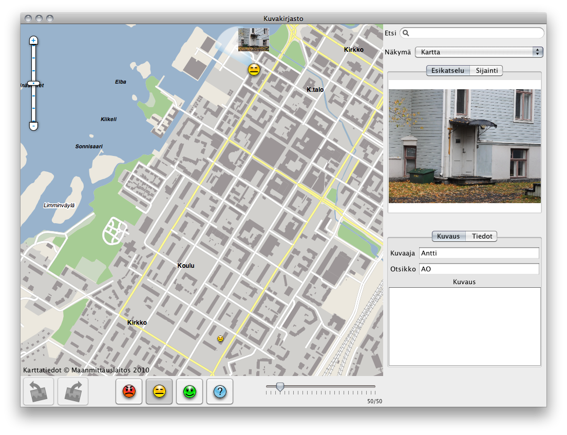
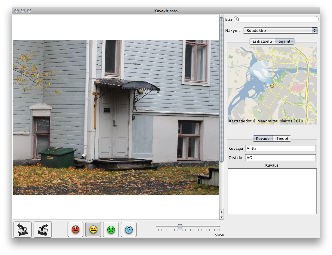
Media Browser
A system designed for architects, for organizing and viewing geographically located photographs on a map
Developed for the PUDAS project, 2009-2010
Features:
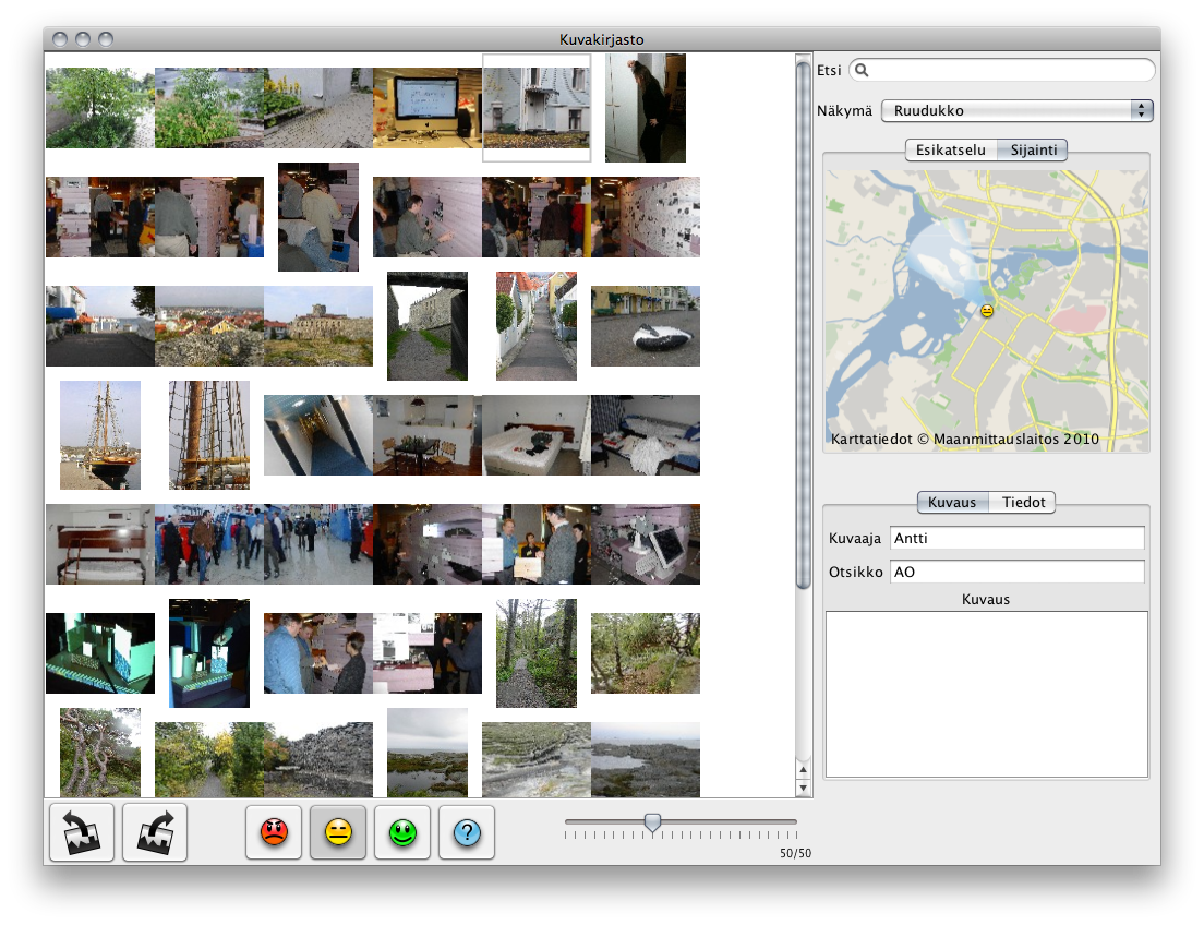
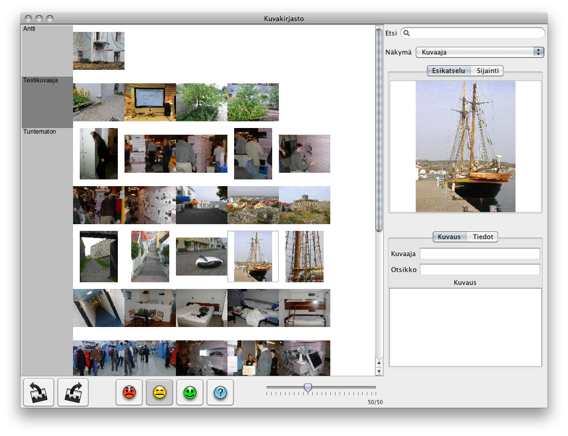
- Multiple views for large photo libraries
- Grid view
- Map view
- Groups view
- Zoomable map view
- Location and direction indicators for geo-tagged photographs
- Image searching
- Server integration for workgroups
- Simple but powerful user interface
Developed using Java, with Java Swing for the GUI, Piccolo2D graphics library for the zooming interface and GeoTools libraries for the map functionality
Copyright © virtu@iki.fi